Questão 33 de UNESP 2026 — VUNESP · 2ª fase — 2º dia
Nesta questão
Enunciado
Leia o texto e examine a imagem para responder, em português, às questões 33 e 34.
Monitoring coffee production in Brazil
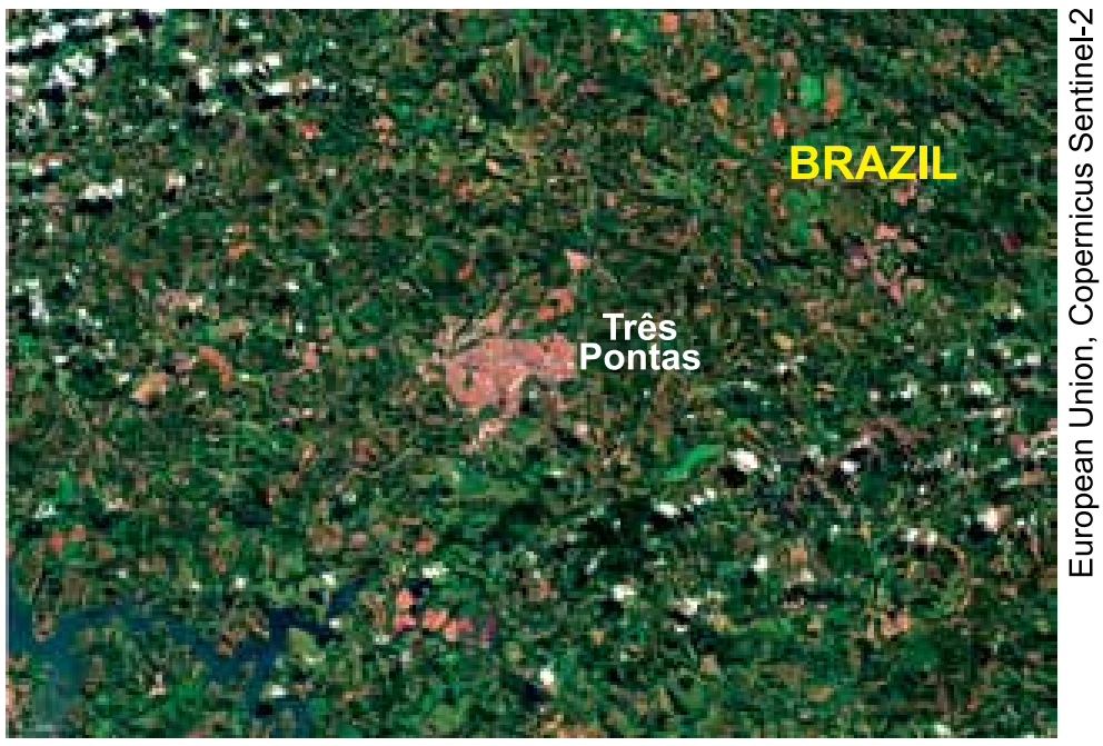
This Copernicus Sentinel-2 satellite image from May 2, 2025 shows Três Pontas, a municipality in the Brazilian state of Minas Gerais. Situated in one of Brazil’s top coffee-producing regions, the city benefits from a combination of high altitudes and a mild climate, ideal conditions for growing coffee. The South of Minas region, where Três Pontas is located, contains the highest density of coffee plants per square meter, with over 400,000 hectares under cultivation. In the image, coffee plants are visible surrounding the city. Recent bouts of heat and drought in Brazil have impacted the country’s production of coffee, affecting global prices of the commodity.
(www.copernicus.eu, 07.05.2025. Adaptado.)
a) Por que a cidade de Três Pontas é apresentada no texto? O que a imagem de satélite mostra a respeito da cidade?
b) De acordo com o texto, quais são as características geográficas e climáticas dessa cidade?
Fonte: VUNESP · UNESP 2026 · 2ª fase — 2º dia.
2ª fase — 2º dia
Resposta discursiva
Resposta discursiva ainda indisponível no acervo.
Estude com a MMI
Matemática e Física com direção.
Conheça os cursos com Ramon Siqueira e os materiais para a sua preparação.